
Transforming complex spatial data into actionable intelligence for sustainable development.
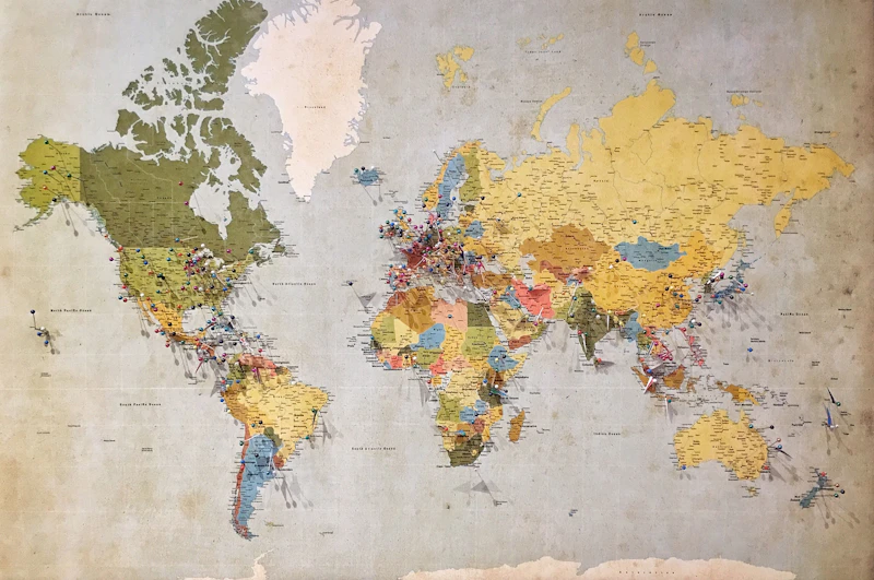
We provide advanced spatial analysis to identify patterns, trends, and relationships within your data. By creating comprehensive GIS datasets, maps, and visualizations across spatial and temporal scales, we help stakeholders visualize complex information clearly. Our mapping solutions enable clients to optimize resource allocation, track project progress, monitor environmental conditions, and identify key risk areas or opportunities for intervention.
.jpeg)
Utilizing high-resolution satellite data, aerial photography, and LiDAR imagery, we monitor environmental changes, land cover dynamics, vegetation, water bodies, and infrastructure development over time. This data-driven interpretation helps clients track environmental degradation, plan urban expansion, and detect potential environmental hazards or natural resource opportunities.

Designing and implementing robust geospatial databases that organize, store, and manage spatial and attribute data efficiently. Our database solutions ensure data integrity, real-time accessibility, and seamless integration with existing organizational workflows. This enables cross-sector analysis and supports long-term monitoring, reporting, and strategic decision-making.